Isaias becomes major hurricane as it barrels toward Florida Panhandle, NHC says
Published in News & Features
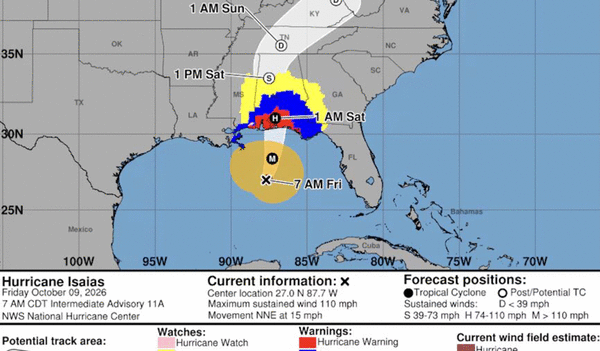
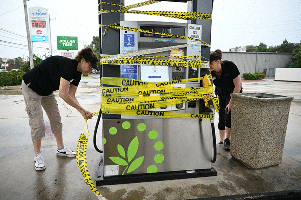
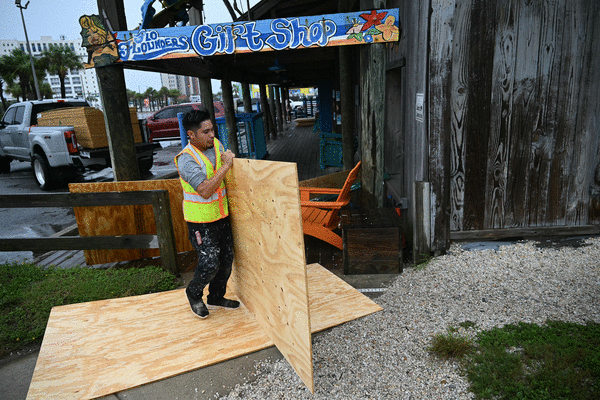
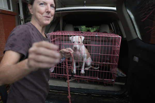
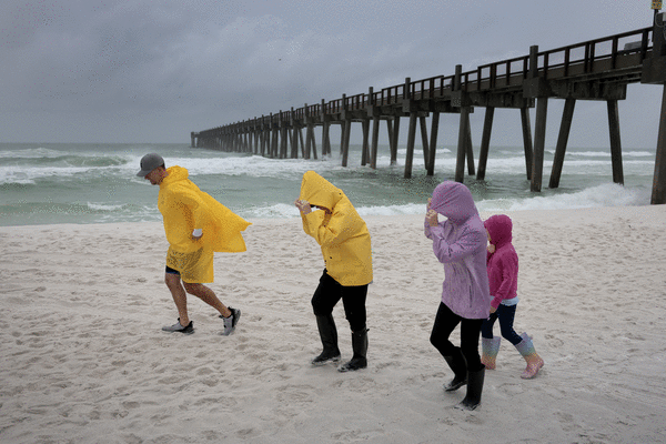


TAMPA, Fla. -- Hurricane Isaias sliced through the Gulf of Mexico Friday afternoon — hundreds of miles from Tampa Bay — on its way toward the northern Gulf Coast, where it’s hours away from making landfall as a treacherous storm.
Isaias ( pronounced ees-ah-EE-ahs ) is likely to remain a dangerous hurricane at landfall Friday night, and forecasters warned of life-threatening storm surge from the mouth of the Mississippi River to the Suwannee River in Florida. Those asked to evacuate should leave immediately, the National Hurricane Center said.
The Tampa Bay area, still on edge after 2024’s back-to-back hurricanes, was expected to see some of Isaias’ impacts including choppier seas, flooding in low-lying streets and heavy rain through the weekend, local meteorologists said. A coastal flood advisory is in place across Tampa Bay through Saturday morning.
Local cities and counties have spent the week clearing storm drains and installing temporary pumps in anticipation of possible flooding in low-lying neighborhoods.
St. Petersburg is “fully prepared” for flooding from rain or high tides, Claude Tankersley, the city’s public works administrator, said during a news conference Friday.
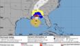
As of 5 p.m., Isaias was about 90 miles south of Pensacola and had sustained winds topping out at 115 mph, making it a Category 3 storm.
Forecasters expect Isaias to make landfall along the coast of the western Panhandle, near Pensacola, tonight, then move across Alabama into the Tennessee Valley Saturday and Sunday.
The hurricane is not likely to weaken much before striking the Gulf Coast, forecasters said.
“Isaias is likely to be a gusty hurricane, and its fast motion could bring strong hurricane-force gusts well inland,” the hurricane center said Friday afternoon.
On Thursday night, Florida Gov. Ron DeSantis expanded a state of emergency to include 27 counties as forecasters projected the storm could bring up to 9 feet of surge at the Alabama and Florida border. A storm surge warning, issued when there is danger of life-threatening inundation from rising water, is in effect from the mouth of the Mississippi River to the Suwannee River.
In a Friday afternoon news conference, DeSantis said the state believed the hurricane would make landfall as a Category 3 storm, despite some projections showing the storm will weaken.
DeSantis noted that the storm had shifted slightly east away from Pensacola and toward Santa Rosa and Okaloosa counties, with an expected landfall of about 11 p.m.
“Those are very popular barrier islands, those are very nice barrier islands,” DeSantis said. “Some of the nicest beaches anywhere in the world are right there.”
Florida is staging linemen to prepare for power outages.
DeSantis urged Floridians to stay aware and look for warnings from their local emergency management officials. Tornados with the storm are likely and will have less warning than the hurricane, he said.
“Be very cognizant that this is a nasty period that we’re entering into over the next 24 to 36 hours,” he said.
On Friday the storm prediction center advised that the potential for tornadoes would increase across the Panhandle in the afternoon, and continue north into Saturday.
Even though the storm is gearing up to strike hundreds of miles away from the Tampa Bay area, the region is still likely to feel the “peripheral impact” of Isaias Friday and into the weekend, according to Rick Davis, a meteorologist with the National Weather Service in Tampa.
Expect choppier, wavier seas; low-lying streets that are prone to flooding could be flooded again; and heavy rainfall can be expected through the weekend, Davis said.
A storm surge and higher-than-normal tides could be influenced by the strong pull of a new moon, with surge forecast between 1 to 3 feet in the Tampa Bay area, Davis said. That likely doesn’t mean flooding will enter into homes, he said, but it could mean water in low-lying streets.
Just north of Tampa Bay, a storm surge watch is in effect for Levy County, where there is the potential for up to 4 feet of surge.
Pinellas County officials said crews have checked areas known for flooding all week after days of rainfall caused by a cold front parked over the state. Pumps were placed in East Lake’s Tarpon Woods and Palm Harbor’s County Road-95 areas ahead of the hurricane.
“Crews will be on standby over the weekend and Damage Assessment Teams are ready to mobilize if needed,” County spokesperson Cory Brandt said.
The city of St. Petersburg warned that low-lying neighborhoods like Shore Acres, Venetian Isles, Snell Isle and Riviera Bay could see minor flooding through the weekend.
Six temporary pump stations were placed in Shore Acres this week, Tankersley said.
“We are expecting the worst of the high tide to come in sometime around 2 o’clock this evening,” Tankersley said. “So we’ll have staff stationed there to make sure that those pumps are operating.”
Permanent pumps are already in place in Riviera Bay and a “few other places,” he said.
In Tampa, the city has also been clearing stormwater ditches and draining stormwater ponds from the extra rainfall this week. In addition, the city will have stormwater crews working overtime Saturday in case Isaias causes problems.
The risk of rip currents along Pinellas beaches remains high into Sunday, Davis said, and conditions could be dangerous for anglers or boaters.
“If you’re a mariner, keep your boats in the port today as seas and swells begin to move ashore,” Davis said Friday morning.
Meteorologists with Spectrum Bay News 9 weather said that high tide had come and gone at Clearwater Beach, but water levels were staying elevated.
Isaias made its closest pass to Tampa Bay Friday afternoon, and water levels across the area were running about 1.5 feet above normal, they said.
As for rainfall, the region had seen up to 4 inches since Tuesday, with another inch expected through the weekend, with possible higher amounts in some areas, the weather service said.
Already over-saturated soil could see even more water, making flooding worse.
____
Times staff writer Romy Ellenbogen contributed to this report.
©2026 Tampa Bay Times. Visit at tampabay.com. Distributed by Tribune Content Agency, LLC.






Comments