Colorado weather: Nearly impossible travel conditions expected during upcoming winter storm
Published in Weather News
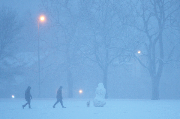
Road conditions across the Front Range mountains and foothills and the Denver metro area could become impossible to navigate starting Wednesday evening as the upcoming major winter storm rolls in.
Forecasters at the National Weather Service in Boulder expect widespread rain showers throughout the afternoon that will likely switch to a wet, heavy snow in the Denver metro area between 8 p.m. and 10 p.m.
The metro area could get between 8 and 16 inches of snow, with some western suburbs getting up to 20 inches
In the mountains and foothills, forecasters still expect between two and four feet of snow to fall through Thursday night, and travel conditions could stay dangerous well into Friday until the dig-out starts.
Forecasters advise drivers to avoid the mountains starting Wednesday afternoon or evening as the heaviest precipitation sets in. Two to three inches of snow per hour could fall, and conditions will deteriorate rapidly.
Peak snowfall rates in the Denver metro area will likely stay in the one-to-two-inch-per-hour range.
As well as the dangerous road conditions, there could also be scattered power outages in the areas most hit by the snow due to it being such heavy snow.
___
©2024 MediaNews Group, Inc. Visit at denverpost.com. Distributed by Tribune Content Agency, LLC.


Comments