Deadly winter storm arrives in Southern California, bringing widespread flood, travel risks
Published in News & Features
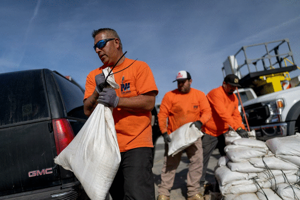
LOS ANGELES — A major atmospheric river storm walloping the state with heavy rains, strong winds and major snow has made its way to Southern California, bringing what forecasters say may become the region's worst Christmas storm in recent memory.
"This is a long-duration event, so we're going to be having the cumulative effects of rain," said Ariel Cohen, a meteorologist at the National Weather Service's Oxnard office. He said there was a high potential for widespread, life-threatening flooding as well as dangerous rock and mudslides, among other risks.
"It might be best to stay indoors during this event," Cohen said. "This is a lot of rain that's going to stack up over multiple days."
Although rains are expected to intensify throughout the day Tuesday and into the night, concerns over serious flooding are focused on Wednesday — Christmas Eve — as rainfall totals increase, he said. Flooding risks could even stretch through Saturday, as the chance for rain will linger until then.
"It's going to take less and less rain for there to be more and more impacts as the week progresses," Cohen said.
The National Oceanic and Atmospheric Administration's Weather Prediction Center elevated the flash flood risk to high for Wednesday across a large swath of southwest California, particularly the southern slopes of the Santa Monica, San Gabriel and San Bernardino mountains. Much of the L.A. Basin, as well as Santa Clarita, Thousand Oaks and Santa Barbara, are included in that high-risk zone, the agency said.
"We could see widespread flash flooding," said Kristan Lund, a meteorologist with the National Weather Service in Oxnard. She warned that the heavy rains over such a long period probably would cause a slew of hazards, including cars being swept away, structures taking on water, trees being downed and power going out, plus travel delays — both in the air and on the road.
A flood watch has been extended through Thursday for almost all of Southern California, while much of the rest of the state will remain under a flood watch until at least Friday.
On Sunday, one person died in rising waters as flooding overwhelmed parts of Redding, according to city officials. The mayor reported that police officers tried to save a person in a vehicle as the waters rose around them but they did not make it out in time.
That flooding is only a preview of what forecasters are warning could be in store this week as the storm gains strength and expands.
Snow will be less of a concern in the Southern California mountains during the week, though some ski resorts are forecast to see some fresh powder by Christmas Day. By the weekend, though, the San Bernardino and L.A. County mountains could get several inches of snow.
Across the Sierra Nevada, heavy snowfall is forecast to accumulate all week, with 3 to 5 feet possible. This will create "major impacts to mountain travel," the weather service warned.
What to expect, and when
Southern California's coastal areas and valleys are forecast to get anywhere from 4 to 6 inches of rain from Tuesday through Saturday. In the foothills and mountains, totals will reach even higher, up to 10 inches of rain over the five-day period.
Much of Southern California also is under a high-wind watch Tuesday through Thursday, with winds up to 50 to 80 mph possible in the mountains and foothills.
Tuesday evening into Wednesday morning:This will be the first burst of heavy rainfall with a chance of thunderstorms, though flooding shouldn't be an immediate concern. High winds and extreme rain rates are possible.
Wednesday during the day:There could be a bit of a lull between bands of heavy rain.
Wednesday evening into Thursday morning: A second belt of heavy rainfall is expected across Southern California, increasing chances for urban flooding, debris flows and mudslides, especially in burn scars but also across many mountainous passes.
Thursday:Continued, heavy rainfall is expected, with ongoing concerns about flooding.
Friday and Saturday: There will still be a chance for additional rainfall and showers, adding to already high rain totals. Dropping temperatures are forecast to bring several inches of snow to Southern California mountains.
©2025 Los Angeles Times. Visit at latimes.com. Distributed by Tribune Content Agency, LLC.


Comments