What is lake-effect snow? A climate scientist explains
Published in Science & Technology News
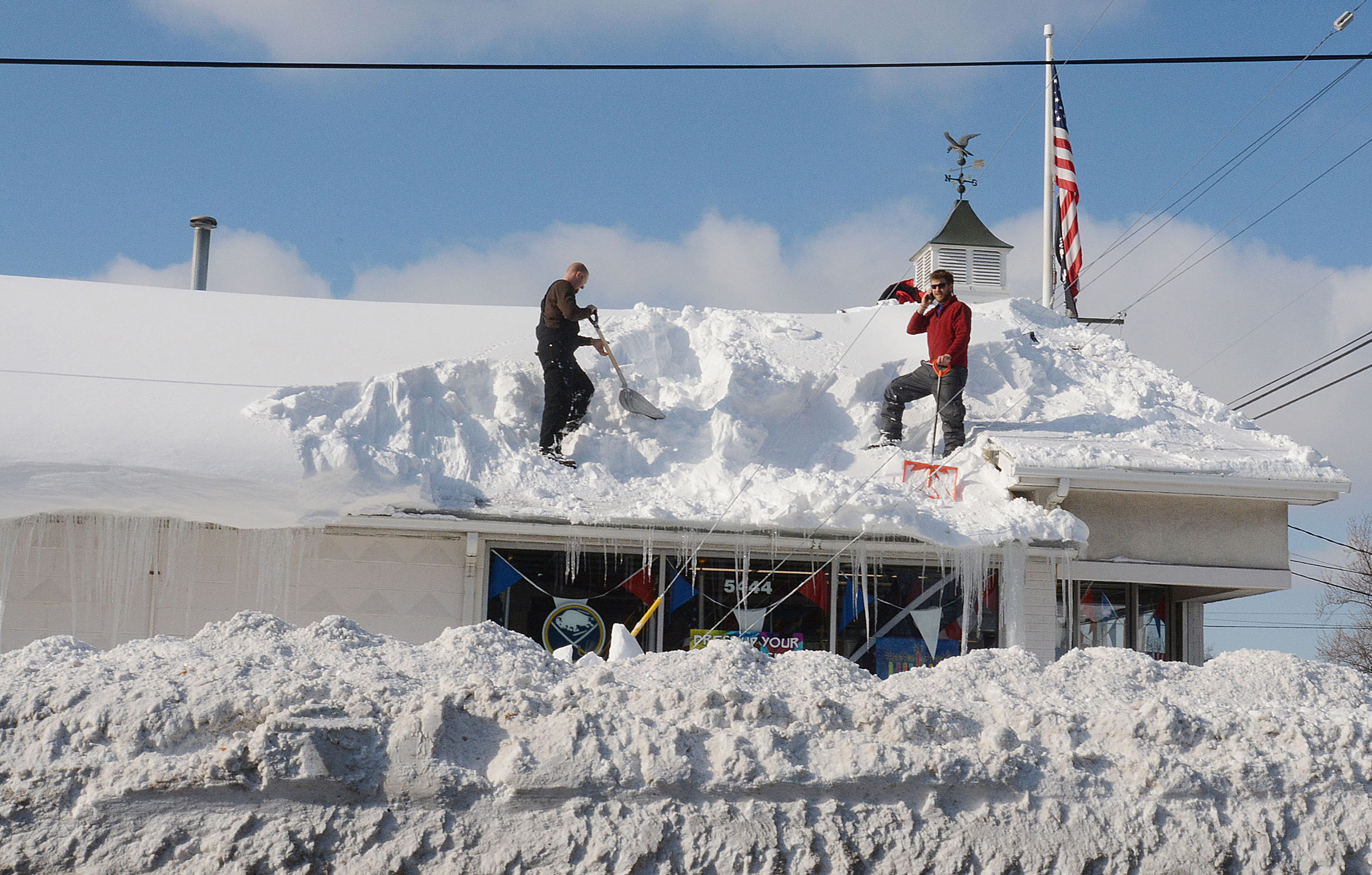
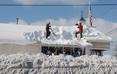
It’s hard for most people to imagine 4 feet of snow in one storm, like the Buffalo area was forecast to see this weekend, but these extreme snowfall events happen periodically along the eastern edges of the Great Lakes.
The phenomenon is called “lake-effect snow,” and the lakes themselves play a crucial role.
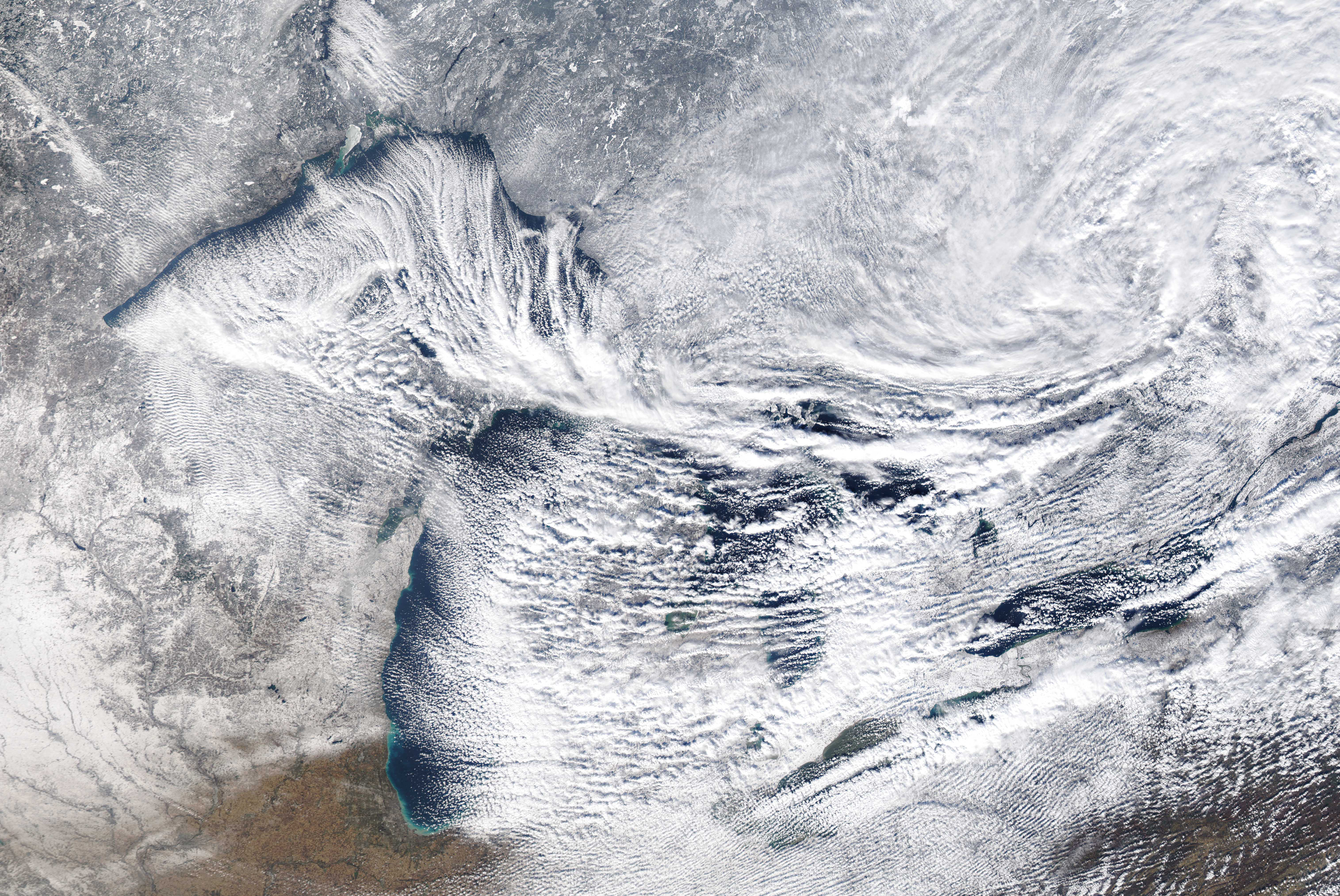
It starts with cold, dry air from Canada. As the bitter cold air sweeps across one or more of the relatively warmer Great Lakes, it sucks up more and more moisture that falls as snow.
I’m a climate scientist at UMass Amherst. In the Climate Dynamics course I teach, students often ask how cold, dry air can lead to heavy snowfall. Here’s how that happens.
Lake-effect snow is strongly influenced by the differences between the amount of heat and moisture at the lake surface and in the air a few thousand feet above it.
A big contrast creates conditions that help to suck water up from the lake, and thus more snowfall. A difference of 25 degrees Fahrenheit (14 C) or more creates an environment that can fuel heavy snows. This often happens in late fall, when lake water is still warm from summer and cold air starts sweeping down from Canada. More moderate lake-effect snows occur every fall under less extreme thermal contrasts.
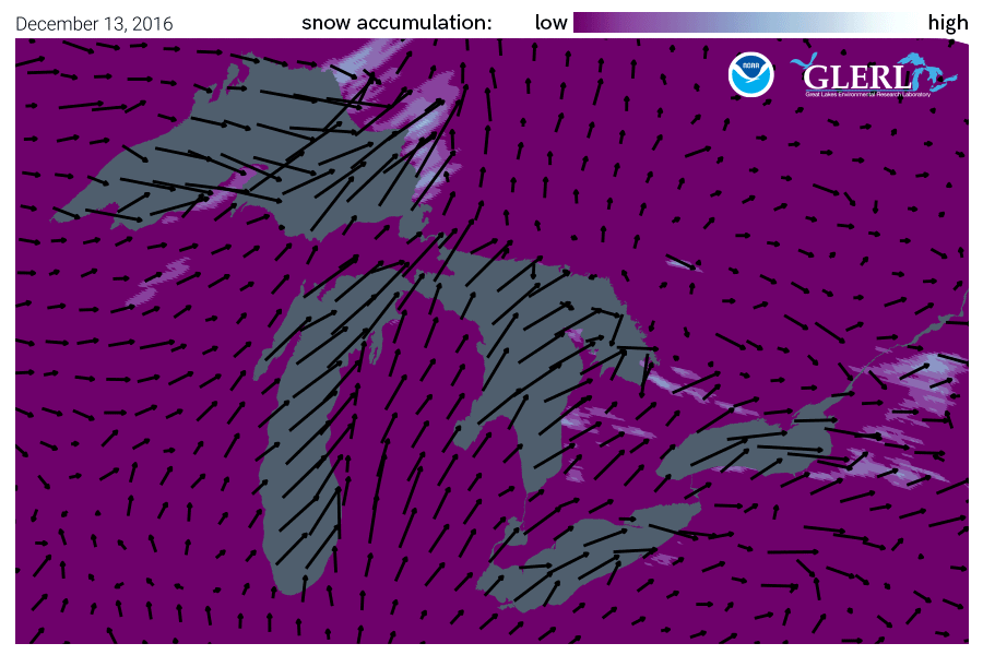
Wind direction is important too. The farther cold air travels over the lake surface, the more moisture is evaporated from the lake. A long “fetch” – the distance over water – often results in more lake-effect snow than a shorter one.
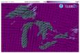
Imagine a wind out of the west that is perfectly aligned so that it blows over the entire 241-mile length of Lake Erie. That’s close to what Buffalo was experiencing the weekend of Nov. 18, 2022.
Once the snow reaches land, elevation contributes an additional effect. Land that slopes up from the lake increases lift in the atmosphere, enhancing snowfall rates. This mechanism is termed “orographic effect.” The Tug Hill plateau, located between the lake and the Adirondacks in western New York, is well known for its impressive snowfall totals.
In a typical year, annual snowfall in the “lee,” or downwind, of the Great Lakes approaches 200 inches in some places.
...continued


Comments